Inhaltsverzeichnis
Checkliste
offene Sonden
- Sondeninformation auf allen drei Seiten checken
- Topo-Karte checken und gleich die beste Anfahrt plannen
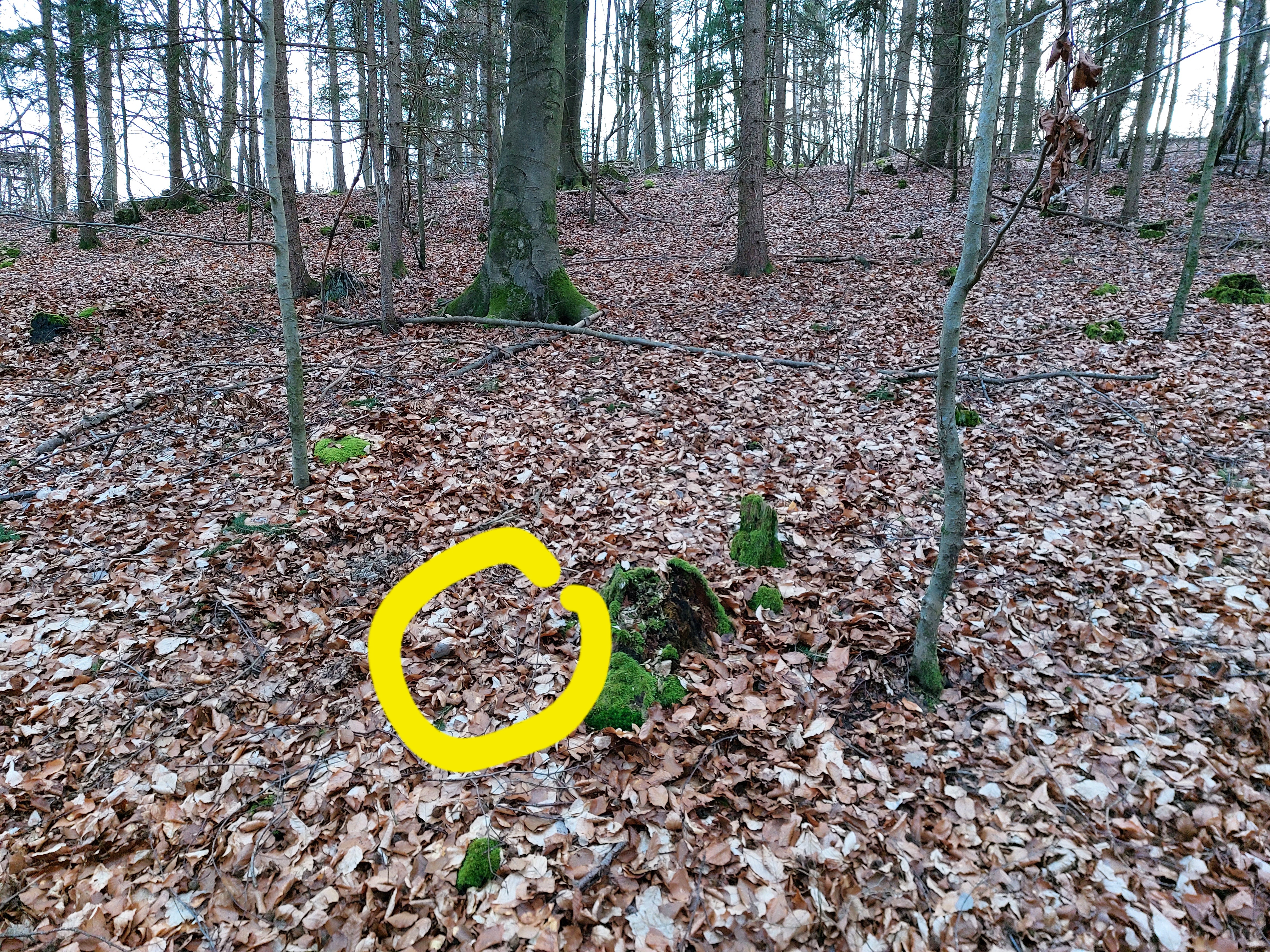
Paintner Forst
https://radiosondy.info/sonde_archive.php?sondenumber=X3452763 35m ÜG
https://radiosondy.info/sonde_archive.php?sondenumber=W1236544 270m ÜG
Riedenburg
Kallmünzer Eck
https://radiosondy.info/sonde_archive.php?sondenumber=T3021052
https://radiosondy.info/sonde_archive.php?sondenumber=W1220080
Trup
Burglengenfeld
Gesichtet / Kontrolle
Pfraundof
https://radiosondy.info/sonde.php?sondenumber=V3331354
Markstetten
https://www.wettersonde.net/map.php?sonde=V3220500
Landepunkt 49.19069 11.87553
Schirm 49.19080 11.87586
Eutenhofen
https://radiosondy.info/sonde_archive.php?sondenumber=V3751052
Schnuhof mit Angel
https://radiosondy.info/sonde_archive.php?sondenumber=D25017142
https://radiosondy.info/sonde_archive.php?sondenumber=D25004124
Hexenagger
https://radiosondy.info/sonde_archive.php?sondenumber=W1236538
Im Herbst nochmal versuchen
Etterzhausen
https://radiosondy.info/sonde_archive.php?sondenumber=R2751058
Neumarkt (Schirm gefunden)
https://radiosondy.info/sonde_archive.php?sondenumber=U1620895
Wenzenbach
https://radiosondy.info/sonde_archive.php?sondenumber=U3270712
Verschlüsselte Sonden
Laut HP9000 senden die Sonde im Abstieg nicht mehr.
je Frame ca. 1 Sekunde, Offset bei Start beachten Frame 4700 ~ 17000m
- 2000m 110dB 28km
- 4000m 103dB 29km Handfunke
- 7000m 98dB 32km
- 10000m 93dB 30km
- 14000m 90dB 30km
- 19000m 91dB 41km
- 22000 91dB 56km Handfunke-o
- 26000 95dB 90km Handfunke-o
Sondenliste
Suche Umkreis 90km um Neumarkt Lost, Achtung und Unbekannt
Links
KML zu GPX Converter
https://mygeodata.cloud/converter/
Befehl zum checken auf Sondehub
https://api.v2.sondehub.org/recovered?serial=T4630010
https://gml.noaa.gov/ozwv/wvap/sw.html
— Tom 2022/04/21 09:27
operating instructions
Various functions are available as part of the map.
mouse/touch operation
- moving by grabbing the map with a mouse-click you can move the map around
- overview map using the < button in the bottom right of the map you can expand an overview map
- zooming in and out using the + and - buttons in the top left of the map you can obtain more or less detail in the map
- switching themes or maps clicking on the ≡ icon on the right-hand side of the map you can view and select available maps and themes
- retrieving information the map may contain elements that contain more information, by clicking these a popup will show this information
- fullscreen display using the ⛶ button the map can be maximized to fullscreen display, use the ▢ button to return to page display.
keyboard operation
Keyboard operation becomes available after activating the map using the tab key (the map will show a focus indicator ring).
- moving using the arrow keys you can move the map
- overview map using the + button in the bottom right of the map you can expand an overview map
- zooming in and out using the + and - buttons in the top left of the map or by using the + and - keys you can obtain more or less detail in the map
- switching themes or maps clicking on the ≡ icon on the right-hand side of the map you can view and select available maps and themes
- retrieving information the map may contain elements that contain more information, using the i key you can activate a cursor that may be moved using the arrow keys, pressing the enter will execute an information retrieval. press the i or the escape key to return to navigation mode
- fullscreen display using the ⛶ button the map can be maximized to fullscreen display, use the ▢ button to return to page display.
It's possible that some of the functions or buttons describe above have been disabled by the page author or the administrator

| id | symbol | latitude | longitude | description |
|---|---|---|---|---|
| 1 | 49.1386º | 11.6931º | Gesichtet Radiosondy |
|
| 2 | 49.19069º | 11.87553º | Gesichtet Wettersonde |
|
| 3 | 49.15527º | 11.85199º | Gesichtet Wettersonde |
|
| 4 | 48.92171º | 11.72109º | Gesichtet Wettersonde |
|
| 5 | 49.0364º | 11.9823º | Nochmal versuchen Radiosondy |
|
| 6 | 49.24079º | 11.42719º | Nochmal versuchen Radiosondy |
|
| 7 | 49.07038º | 12.23822º | Nochmal versuchen Radiosondy |
|
| 8 | 49.0947º | 11.9827º | Nochmal versuchen Radiosondy |
|
| 9 | 49.03130º | 11.64897º | Gesichtet Radiosondy |
|
| 10 | 48.9827º | 11.8723º | Versuch Radiosonde |
|
| 11 | 49.15691º | 11.57418º | Nochmal versuchen Big Shot Radiosonde |
HP9000 Ammerthal Harald
ASG925 Ursensollen
DL5RCB Ursensollen
DL6DJ Bergstetten Dieter
DG5RCE Beratzhausen
90409 Nürnberg Andreas
DL4PET